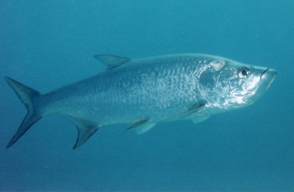
Collaboration between the Texas Parks and Wildlife Department (TPWD) Coastal Fisheries Division and the GIS Lab’s Resource Information System (RIS) team has resulted in a new online Texas Tarpon Observation Network application. The new web resource is the first of its kind for the Gulf of Mexico. The intent is to use angler observations to help monitor tarpon occurrences along the Texas coast, augment past and current tarpon research along the coast, and help raise awareness of the popular gamefish. Research is needed because the species has been declining in recent years possibly due to reservoir construction on rivers, droughts, pesticides and/or overfishing.
The new web application creates a means for TPWD, researchers, and anglers to query the number and type of tarpon observations using dates, radius from a point based on latitude and longitude, bay name, or coastal area. The application features Google™ Maps allowing for satellite-based layer imagery, and the ability to zoom in, zoom out, and pan to locations of interest. In addition, the Membership Security Module offers a password protected interface for editing the database allowing authorized users to report their observations via the internet. This will allow for other reportable data such as information about observation time of year, temperature at location, and tarpon length and weight if known. Resource Information System applications are developed using US Fish and Wildlife Service State Wildlife Grants funds.